mtr
Cumberland Plateau Terrain Modification
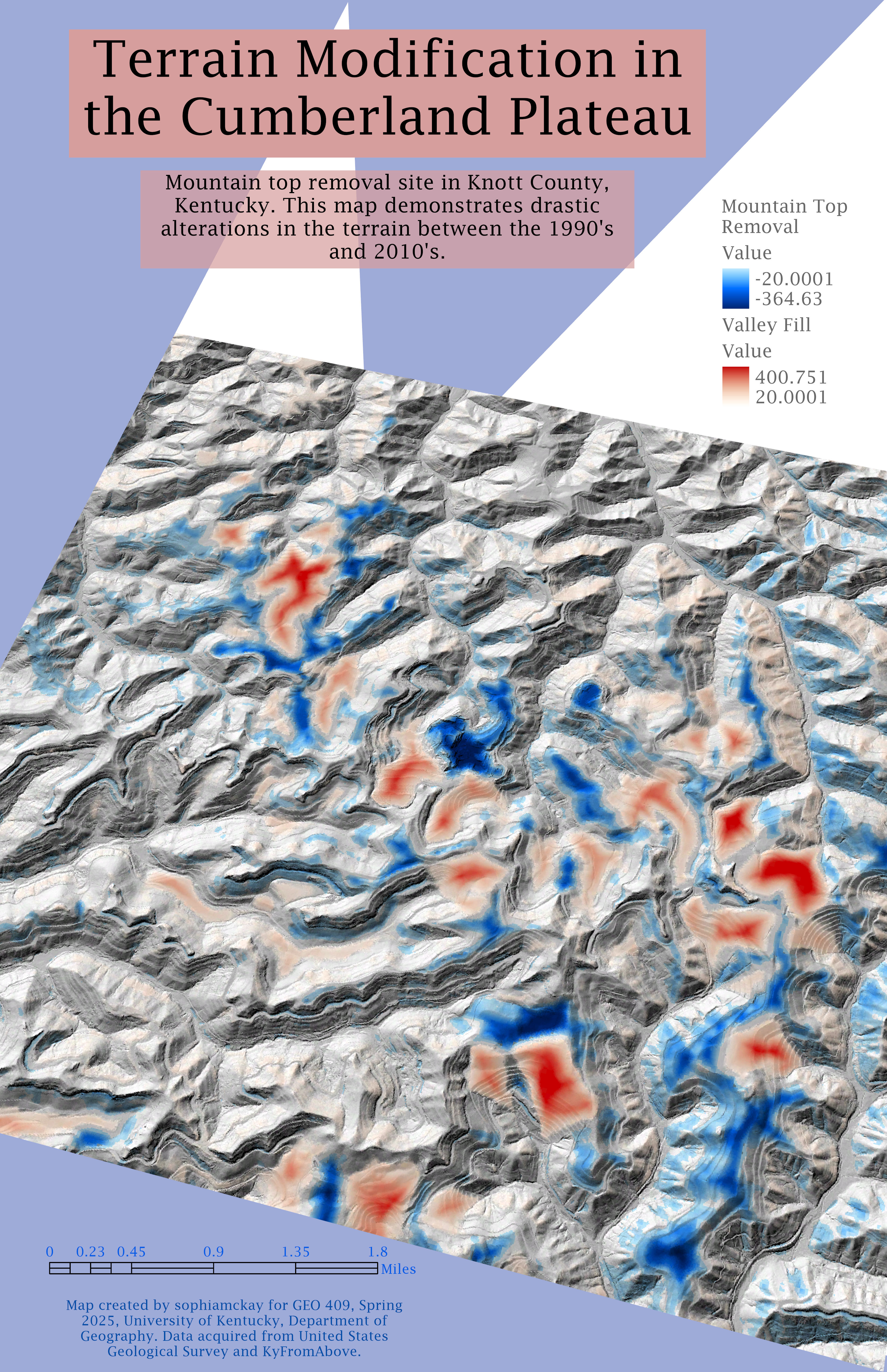
Mountain top removal site in Knott County, Kentucky.
This map demonstrates the mass terrain modifications that occured in Knott County due to mountain top removal mining. Areas in dark blue represent a loss of vegetation while areas highlighted in red represent valley infill.
Terrain Alterations in the Cumberland Plateau from 1990 to 2010
Link to high-resolution version of terrain modification
Map created by sophiamckay for GEO 409, Spring 2025, University of Kentucky, Department of Geography. Data acquired from the United States Geological Survey and KyFromAbove.